
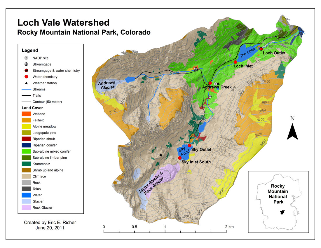
Site Description
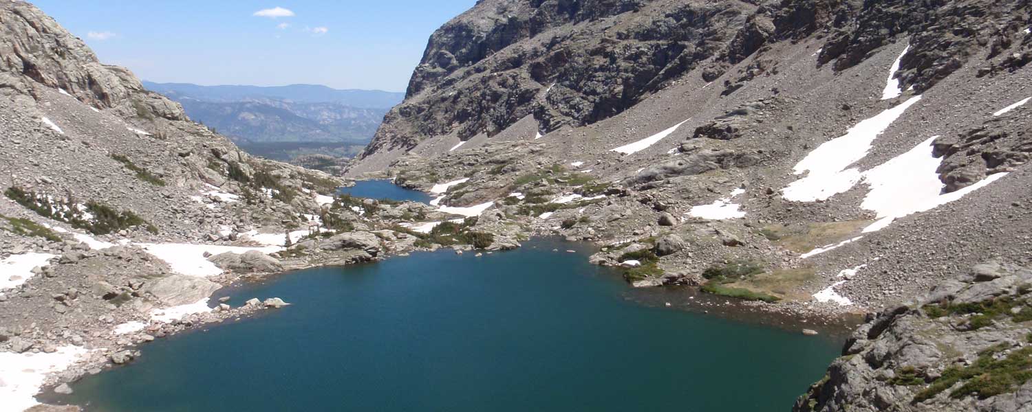
The Loch Vale watershed is located directly east of the continental divide in Rocky Mountain National Park, Colorado. The watershed is 660 hectares in size and ranges in elevation from 3,110 m (10,201 ft) at the Loch Outlet to 4,009 m (13,153 ft) at Taylor Peak. There are three lakes in the watershed: The Loch, Lake of Glass, and Sky Pond. The watershed is divided into two main sub-basins, with Andrews Creek draining the northern sub-basin and Icy Brook draining the southern sub-basin. The majority of Rocky Mountain National Park is underlain by igneous (granite) and metamorphic (schist and gneiss) formations. The watershed consists of 83% bare rock, boulder fields, and snow/ice; 11% tundra; 5% forest; and 1% subalpine meadow (Baron 1992). The sub-alpine forests of Loch Vale are dominated by Engelmann spruce (Picea englemannii) and sub-alpine fir (Abies lasiocarpa), with the average tree age around 500 years old. Average annual precipitation is 110 cm with 65-80% originating as snow. A more detailed description of the Loch Vale watershed can be found in Baron (1992).
Maps

![]()
![]()
![]()
![]()
![]()
![]()