Tracking Animals
 Part of learning about how changes in the landscapes wildebeest inhabit affect them means following their movements in
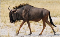
different kinds of landscapes. We are placing GPS collars on wildebeest. These collars use the same type of GPS technology that is in some vehicles or cell phones to record where the animal is, every hour during the day for two years!
Part of learning about how changes in the landscapes wildebeest inhabit affect them means following their movements in
different kinds of landscapes. We are placing GPS collars on wildebeest. These collars use the same type of GPS technology that is in some vehicles or cell phones to record where the animal is, every hour during the day for two years!
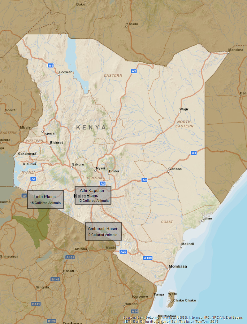
To date, we have placed 36 GPS collars on wildebeest throughout three protected areas in Kenya: 15 collars throughout the Loita Plains and the Maasai Mara National Reserve, 12 collars throughout the Athi-Kaputiei Plains surrounding Nairobi National Park, and 9 collars throughout the Amboseli Basin and Amboseli National Park. For details on the individual movements of these animals in each of these study areas, follow the links above to each protected area or click on the study area boxes in the map provided below: